Day 32 of C2Cx2 – Grosmont to Robin Hoods Bay, Tuesday 1 October 2014.
Statistics:
distance - 17.6 miles
moving speed – 3.2 mph
start – 9.00 am
finish – 5.15 pm
moving – 5h 29m
Graham began the day with fresh fruit salad and yoghurt followed by a good English cooked breakfast. Mary had had stomach problems during the night so skipped breakfast. We left the B&B at 9am and spent a few minutes at the station saying goodbye to the Canadian couple who were going for a ride on the steam train.
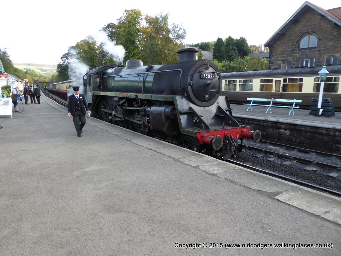
'Grosmont station'
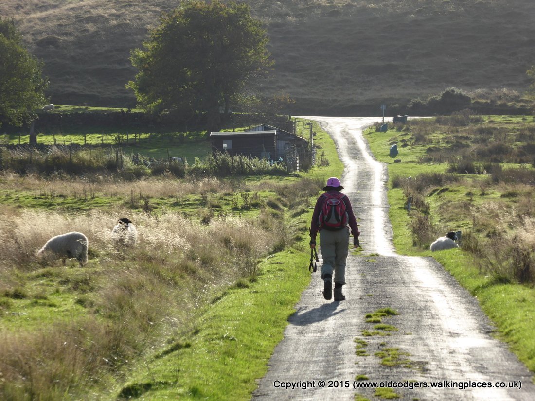
We had decided on a totally different route today to avoid the horrendous climb out of Grosmont, the thigh deep bogs of Sneaton Low Moor and the Graystone hills, and the caravan parks at Hawsker. Our planned route was along the Murk Esk as far as Green End Farm, then east along the road to cross the A169 along the whinstone ridge, down to Falling Foss then along May Beck, one of our favourite bits of the 2010 walk, up to Lilla Cross then across Fylingdales Moor to Jugger Howe Beck and continuing eastwards to Ravenscar, then back up the coast to Robin Hoods Bay.
The walk began beautifully through woods above the Murk Esk along stepping stones just like those through East Arncliffe Wood the day before. The climb out of the valley was much gentler than the road out of Grosmont. And the bonus was meeting a local resident who stopped his car for a long chat about local history. He offered to take us back to his home for a cup of tea, but we had to press on.
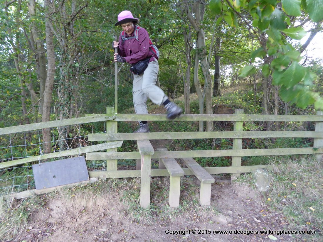
'Stile in Murk Esk woods – all stiles should be as easy as this'
'Farm track out of Murk Esk valley'
'Climbing the road out of Murk Esk valley'
We followed the whin sill, a volcanic intrusion extending along an east-west line across the country. The hard basalt rock had been quarried over millenia for road making. We were back onto heather covered moorland, and this continued all the way to Ravenscar.
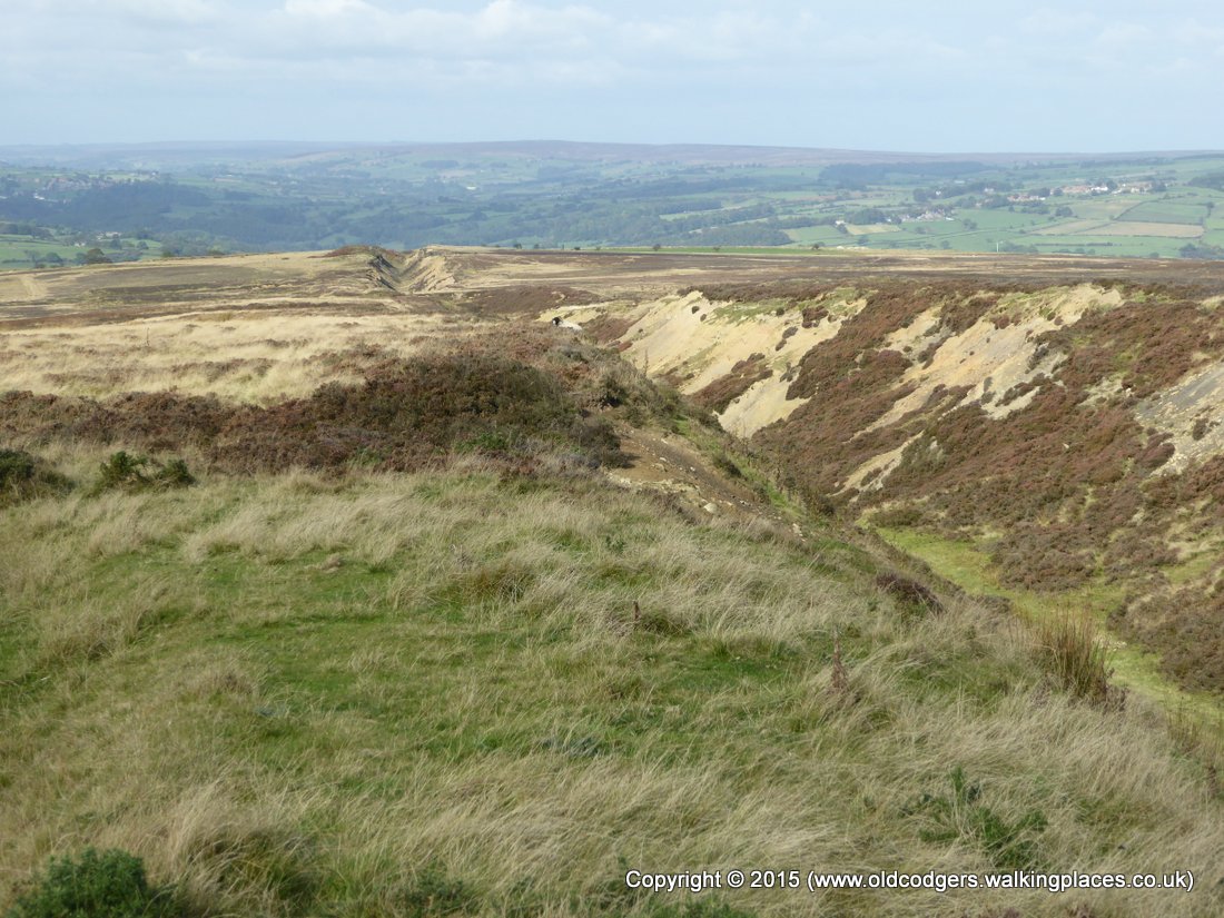
'Quarries along the whin sill'
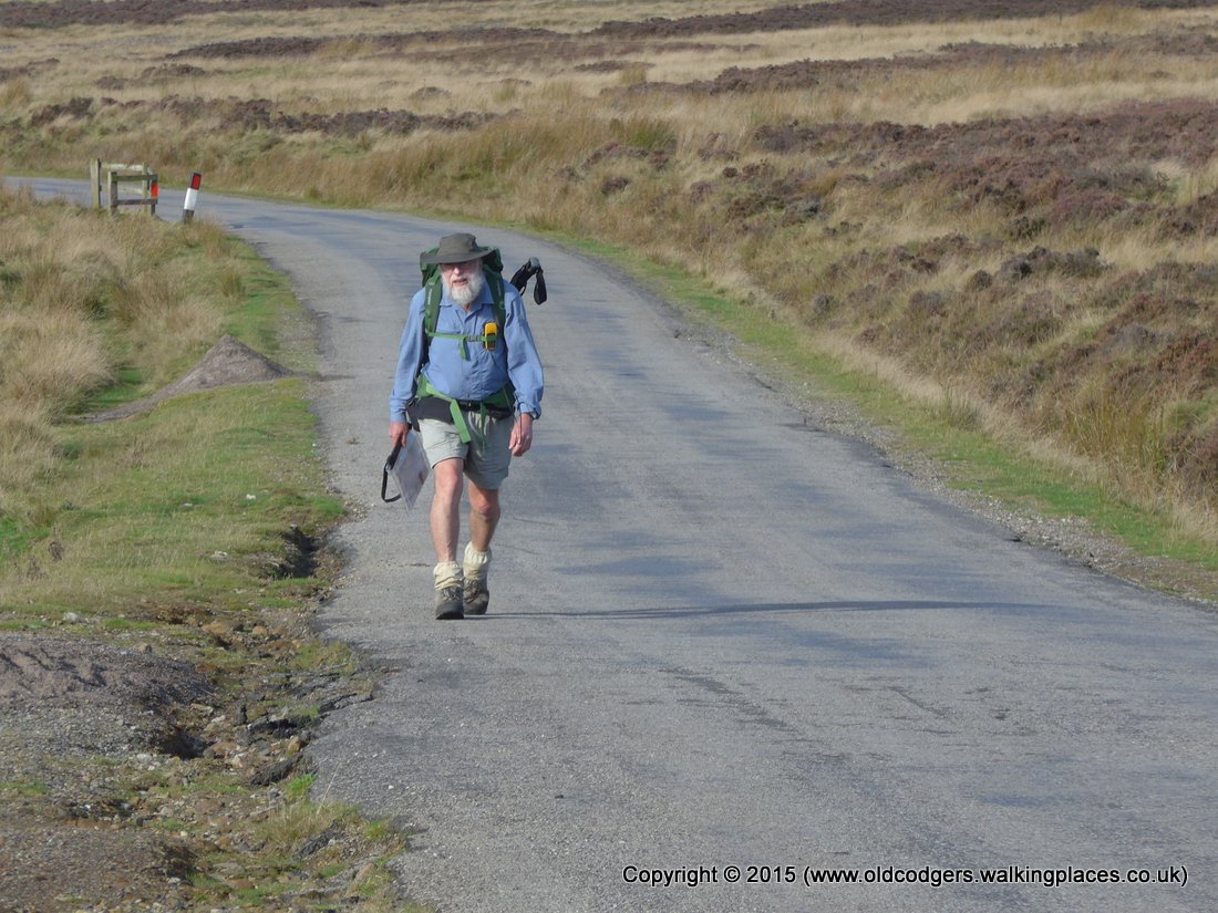
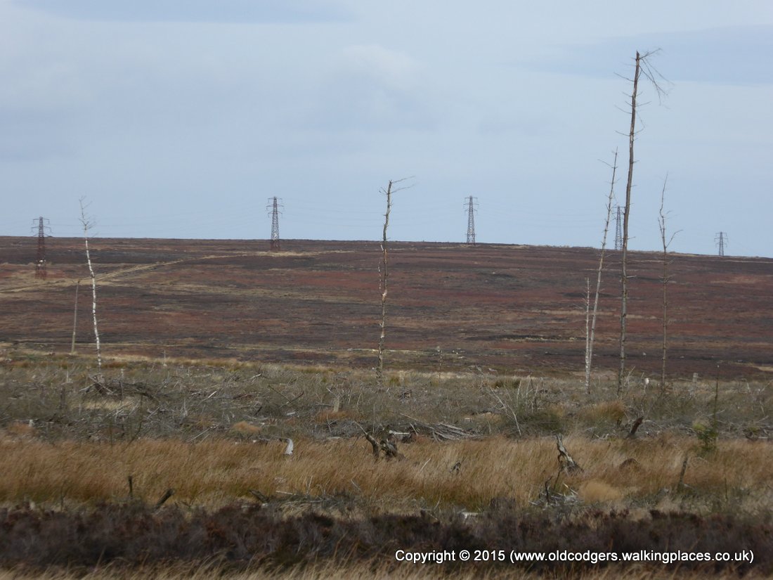
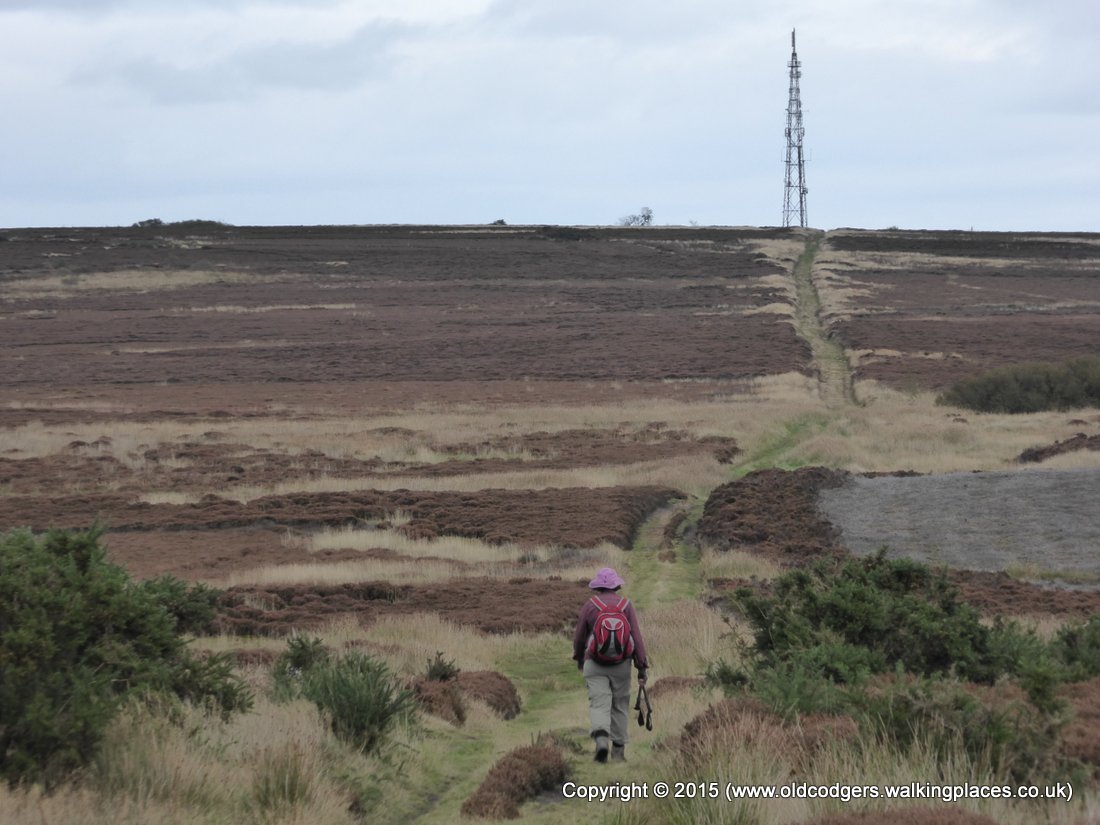
Near the turnoff to Falling Foss we stopped for morning tea at 11.15 with views across desolate Sleights Moor. Mary wasn't well, so we decided to skip the detour to Falling Foss and headed straight for Lilla Cross across Foster Howes Rigg. The track across the peat moor was rough, muddy and badly eroded. It could have been horrendous if it had been really wet during the week before our crossing. As we neared Lilla Cross we passed near the new, pyramidal Fylingdales radar station. And the ridge behind the radar station was Crosscliff Wood where we had been at the start of our walk a month ago.
'Desolate Sleights Moor'
'View of the North Sea'
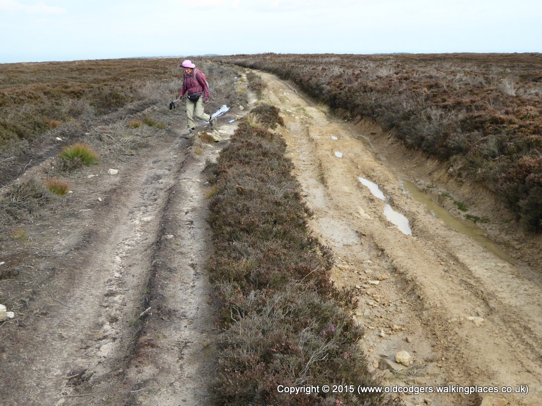
'Rough, eroded, muddy track across Foster Howes Rigg'
Lilla Cross had been erected around 625 AD to commemorate the chief minister of King Edwin of Northumbria. Lilla saved the life of the king by throwing himself between the king and an assassin, receiving fatal wounds from a poisoned dagger. Standing in the midst of desolate moorland beside such an ancient monument commemorating such a significant historical event sent shivers up Graham's spine.
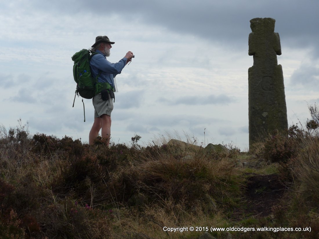
'Graham photographs Lilla Cross'
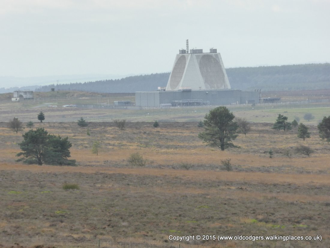
'Fylingdales radar station; Crosscliff Wood on horizon to left'
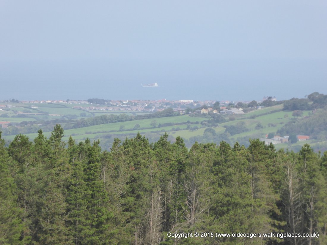
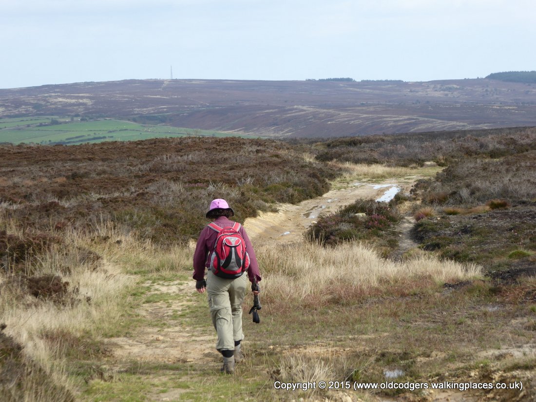
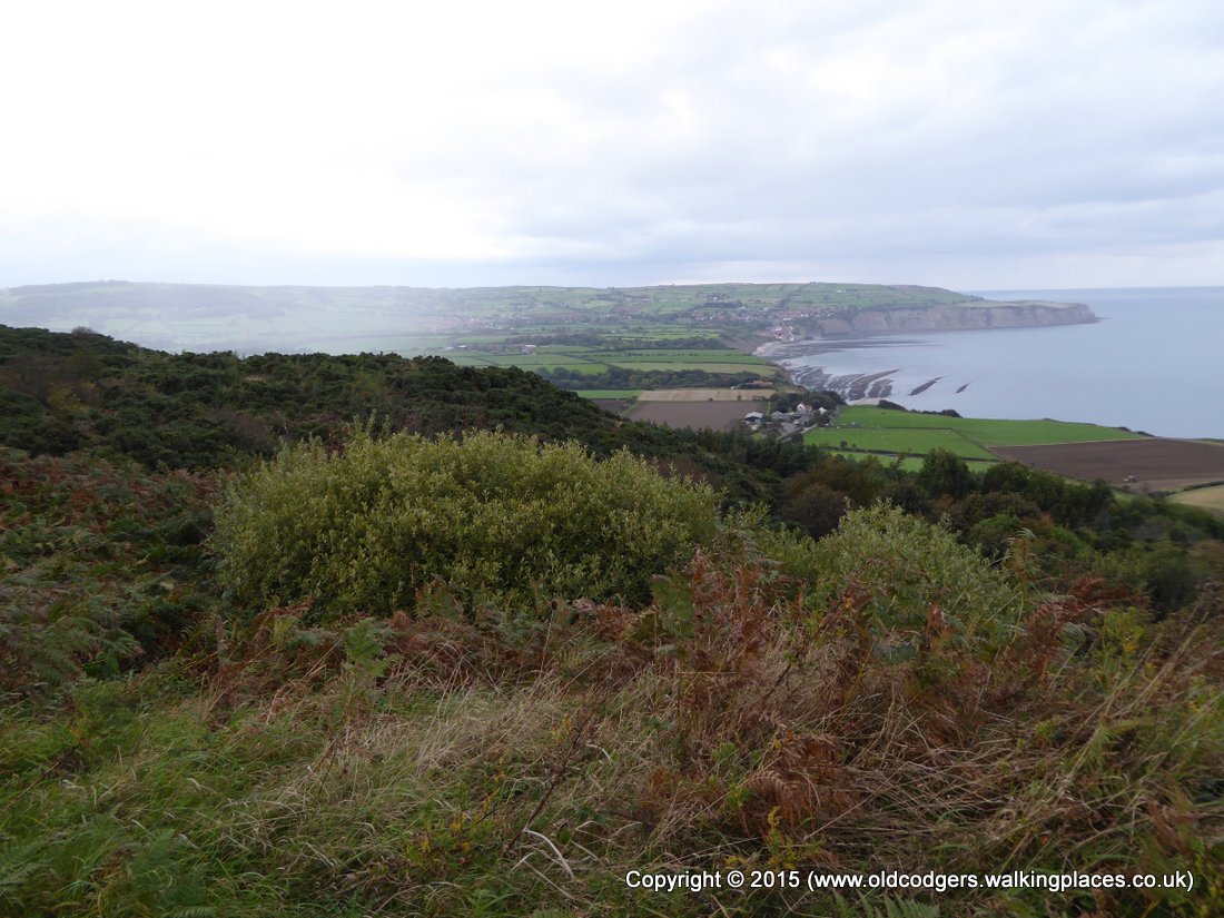
We set off across the moors heading for a communication tower on the coast at Ravenscar. We could see Scarborough and its castle off to the south-east – another reminder that we were returning to the start of our walk. Along the way we passed a walker with two dogs coming the other way. He was out for a day walk from his van parked in a lay-by on the A171. We chatted for a while and found he knew the local walks well. He recommended taking the disused rail track from Ravenscar back to Robin Hoods Bay.
'Our route over Fylingdales Moor, Jugger How Moor (centre right), & Stony Marl Moor to Ravenscar communication tower'
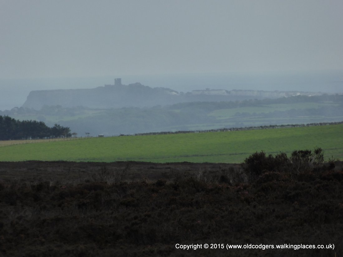
'View to Scarborough and castle'
We stopped on the footbridge over Jugger Howe Beck for lunch at 2.30pm. Mary had very little as she was still not well. The walk to Ravenscar across the moor was draining. The view over the coastal cliffs to Robin Hoods Bay was uplifting, and we set off with great anticipation along the rail track. We took lots of photographs over the bay as rain showers swept over the plateau behind the cliffs. We were disheartened when the rail track swept away from the coast, and Robin Hoods Bay seemed to get further away. The longer route seemed a high price to pay for the even walking along the rail track compared to the ups and downs of the shorter coastal path. Our judgement was overwhelmed by exhaustion.

'Jugger Howe Beck valley'

'Lunch on the bridge over Jugger Howe Beck'

'Steep climb from Jugger Howe Beck'
'Crossing Stony Marl Moor, getting close to the Ravenscar communication tower'
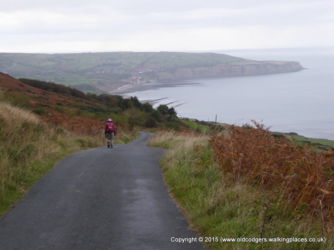
'First view of Robin Hoods Bay'
'Rain shower near Robin Hoods Bay'
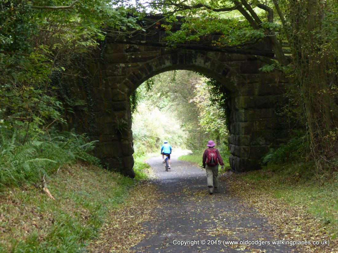
'Diversion along the disused rail track'
We revived when we got to the Wayfarer B&B at 5.15. We left our packs and headed down to the bay. We seemed to be the only ones in Robin Hoods Bay when we finally threw our stones into the sea and wet our boots for the last time. We retreated to the Bay Hotel for celebratory drinks – a brandy for Mary and a Theakstons Black Bull for Graham.
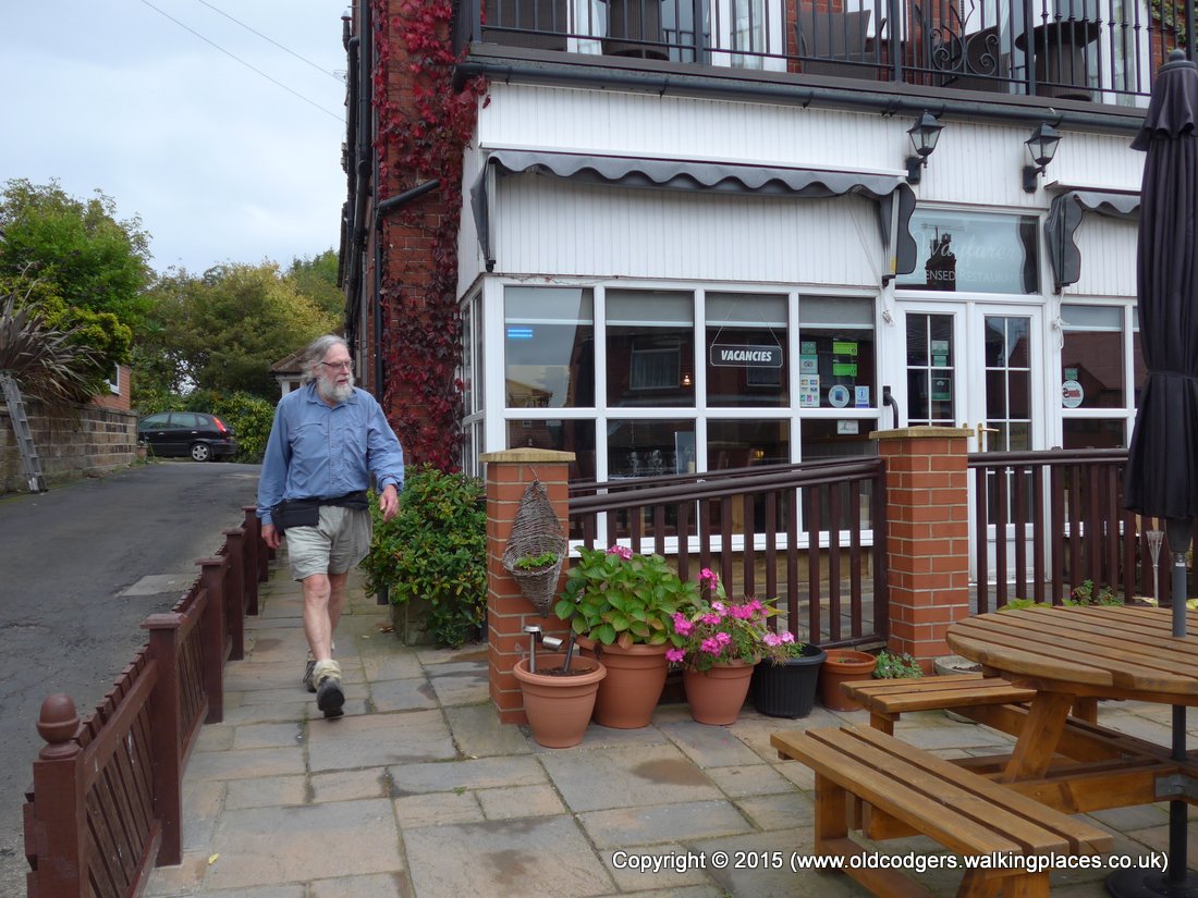
'Packs left at the B&B, now off to the beach'
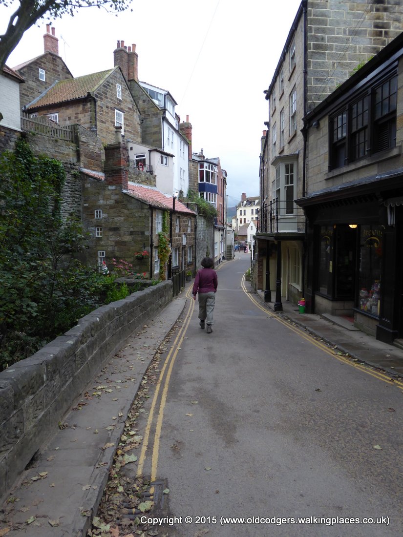
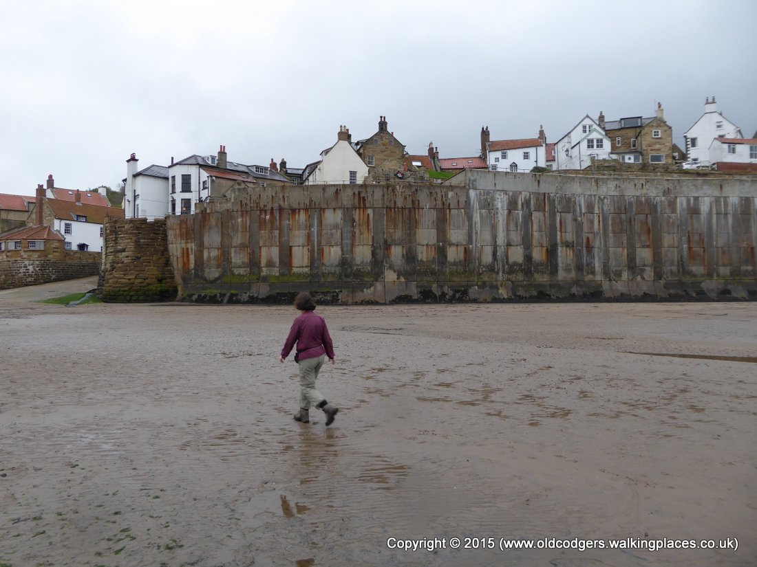
'Walking through deserted Robin Hoods Bay'
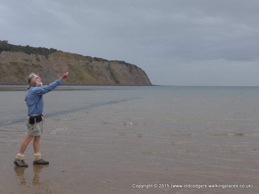
'Graham wets his boots and throws his St Bees stone into the sea'
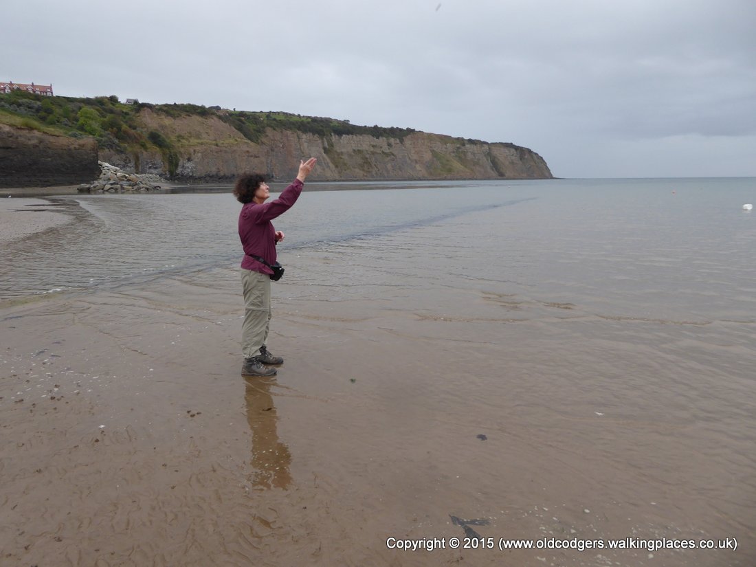
'Mary wets her boots and throws her St Bees stone into the sea'
'Mary returns from the beach – job done!'
We returned to the B&B for a refreshing shower, then went down into the bistro for a celebratory dinner. We really enjoyed the seafood with a bottle of Italian pinot grigio. Mary's scallops in crab sauce and Graham's sea bass in a tomato and caper sauce were wonderful. After our quiet celebration we went to bed at 9.15.
Our C2Cx2 was over.